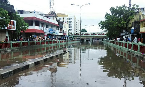
With rains lashing Chennai for than a week and city dwellers finding it tough to commute, The Wire has used Google Maps to create an online tool that could be a relief for Chennaites.
Now, people can mark the areas and roads which are water-logged or are unsafe for travelling in the city, and alert others.
One can also add more information to the maps by clicking ‘add layer’ option available in the left side panel.

The map shows that left side of the Tidel Park road is completely flooded and the cars are moving at very slow pace.
Here, the map shows that Sathyabama University on OMR road is fully flooded and people are using boats around the college.
Can you see those red, blue and green signs on the map? The red colour defines the major road blocks due to water-logging and pot-holes. The light and dark blue symbols show the water-logged areas and how much water is filled and which all modes of transport should preferably be used in those areas.
And the green symbols show the roads which are safe to use.
So, click here to check out this map and have a safe journey through the city.