Kerala govt to switch to GPS instead of survey stones for SilverLine survey
The Kerala Rail Development Corporation (KRDCL) on Monday, May 16, has been directed to use alternative methods to demarcate boundaries for SilverLine project rather than place survey stones. The multi-crore semi-high-speed rail project is being opposed by the local people in many parts of the state and the survey stone laying work was stopped multiple times due to protests by the people.
Additional Chief Secretary Abdul Nasar B has written to the Commissioner of Land Revenue, District Collectors, as well as the KRDCL Managing Director, suggesting the use GPS-based methods for demarcation of the SilverLine alignment. “In view of the violent public protests and resistance in the field by the stone laying team, they (KRDCL) had informed that the alignment of SilverLine was finalised using LIDAR (Light Detection and Ranging) survey and the alignment can be easily established in the field by Global Positioning System (GPS) coordinates using Differential Global Positioning System (DGPS) survey equipment or mobile phones with GPS facility. Therefore, it has been proposed that the boundary stones can be placed where the land owners consent for the same and at other locations the alignment can be demarcated by marking on permanent structures,” he said in the letter.
Further, he directed the use of either the geo-tagging method using a “good software or app”, or demarcating the boundaries by marking on permanent structures. “KRDCL should assist the SIA (Social Impact Assessment) team to identify the alignment either by DGPS survey equipment or mobile phones with GPS facility as proposed so that the SIA team may identify the project affected persons and collect the data properly,” he further noted.
Reacting to this order, K-Rail Virudha Janakeeya Samithi General Convener S Rajeevan questioned what is the use of utilising GPS, when the social impact assessment has to be conducted on the ground. “This move by the government comes after they understood the vehement opposition by the public to the project. Especially after the protests in Kannur. However, using GPS is of no use as the SIA has to be conducted on the ground and consent of people has to be obtained from the ground. Can they do it using GPS?”, he added.
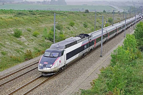
The SilverLine rail corridor, envisaged to cover a 530-kilometre stretch from Thiruvananthapuram to Kasaragod, is estimated to cost around Rs 64,000 crore. The project aims to make transportation easy along the entire north south of Kerala and reduce travel time to less than four hours as against the current 12 to 14 hours. The proposed project has faced vehement opposition from residents as well as the Congress-led UDF.